Survey & Acquisition
Topographic surveys, GNSS static/RTK/PPK, UAV LiDAR and photogrammetry, GCP/ICP, and bathymetry.
FIELDWORK / CONTROLHello, I'm Esy Kusuma Wati.
I work at the intersection of the field and the digital world — bringing precision, curiosity, and care into every geospatial project.
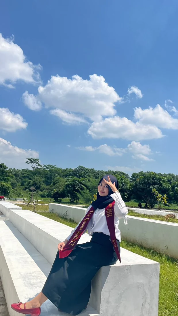
Grounded in data.
Guided by perspective.
01SELECTED PROJECTS
From irrigation and land development to post-disaster infrastructure and waterways. A selection of project roles documented in my professional CV.
PROJECT ARCHIVE
* Career/project figures are based on the supplied CV. Project visuals are illustrative; gallery photos are general documentation and not project-specific evidence.
02WHAT I DO
A practical toolkit across survey methods, geospatial processing, quality assurance, and project coordination.
Topographic surveys, GNSS static/RTK/PPK, UAV LiDAR and photogrammetry, GCP/ICP, and bathymetry.
FIELDWORK / CONTROLOrthophotos, point clouds, DSM/DTM, contours, profiles, GIS analysis, and map production.
POINT CLOUD / GISCross and longitudinal sections, topographic mapping, geospatial data quality control, and technical reporting.
OUTPUT / QUALITYMethodology planning, team coordination, equipment selection, schedules, progress monitoring, and evaluation.
PLANNING / DELIVERY
03A LITTLE ABOUT ME
I’m Esy — a Geomatics Engineering graduate who enjoys making complex spatial information more understandable and useful.
My professional journey brings together field surveying, remote sensing, GIS, and technical coordination. I have worked on mapping assignments covering infrastructure, land, water resources, and development planning.
I believe good geospatial work takes more than reliable technology: it takes careful thinking, collaboration, and respect for the details that shape a place.
04MY JOURNEY
A timeline of practical work, academic learning, and the experiences that shaped my perspective.
B.Eng., Geomatics Engineering · 2020–2024
Thesis: Deformation Analysis of the Semangko and Kumering Faults using InSAR (2015–2023).
05BEHIND THE MAPS
A glimpse of the people, places, and everyday work behind the technical outputs. Collected from my personal photo archive.
Photos are documentary highlights; individual project attribution and publication permissions should be verified before going live.
06GET IN TOUCH
Whether it’s a geospatial project, a technical conversation, or an opportunity to collaborate, I’d love to hear from you.
esykusuma24@gmail.com ↗